Description
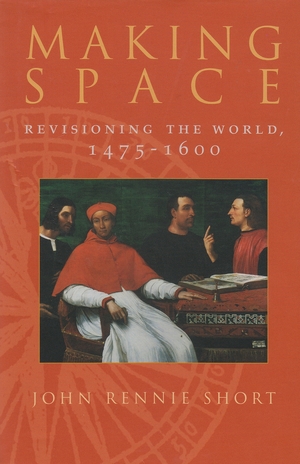
The cosmos was bound in a sphere; the world was gridded and plotted, the seas navigated, and the land surveyed. Spatial practices were codified, a spatial sensitivity was created and a cartographic literacy was established in the increasing use of maps and the creation of a cartographic language for new mappings of the world, state, and city. Short establishes that such spatial revisioning is connected to the promotion of commercial and national interests. Developments in navigation, for example, were often encouraged and promoted both by the state and by merchant companies. Surveying was closely connected to the rising cost of land and to the increasing commodification of agriculture. The continuous price rise of land in the sixteenth century was an important factor in the rise of spatial practices of mapping and surveying. In addition, he highlights the role of the occult practices in the new spatial sciences. Astrology and alchemy were as important as astronomy and geometry. The cosmographers of the sixteenth century encompassed a wide arc of intellectual endeavors.


